Where we operate
Water Damage Restoration Pro covers 7 cities across 1 state. Pick your city for local response times, costs and conditions.
Texas (7)
- Allen 113,447
- Coppell 41,386
- Dallas 1,300,000
- Farmers Branch 37,341
- Grand Prairie 209,434
- Plano 293,028
- Sherman 43,645
Dallas Fort Worth metroplex
Allen sits inside the Dallas Fort Worth metroplex in southern Collin County, roughly twenty five miles northeast of downtown Dallas along US 75, between Plano and McKinney. That position matters for response time: a crew based in Allen is not thirty minutes from west Fort Worth, and crews in the network are assigned by the part of the metroplex they can actually reach quickly. Allen addresses route to a north metro crew, not to one an hour across town.
Major cities we cover
Beyond Allen itself, crews in the network respond across Dallas, Fort Worth, Arlington, Plano, Irving, Garland, Frisco and McKinney, serving a metro population of roughly 8,100,000.
- Dallas
- Fort Worth
- Arlington
- Plano
- Irving
- Garland
- Frisco
- McKinney
These are separate cities with their own crews and their own response times, not suburbs of Allen. Each one gets its own page as we bring it live.
Smaller towns in the Allen area
- Plano
- McKinney
- Frisco
- Richardson
- Murphy
- Parker
- Lucas
- Fairview
- Wylie
- Sachse
Neighborhoods inside Allen
Within Allen itself, crews cover every neighborhood, including:
- Twin Creeks, A west Allen master-planned community centered on an Arnold Palmer-designed golf course, with several gated enclaves such as Wimberly Place.
- Watters Creek, The residential area near the Watters Creek at Montgomery Farm mixed-use district, built around a creekside village green with shopping and dining.
- Watters Crossing, An established subdivision near Watters Creek, developed primarily through the 1990s and early 2000s.
- StarCreek, A master-planned community in west Allen developed in the 2000s, with its own pools, trails and community center.
- Suncreek, An established residential community in central Allen with mature tree cover and homes from the 1990s and 2000s.
- Bethany Lakes, A neighborhood in the north part of the city near Bethany Lakes Park, anchored by several community lakes.
- Stacy Ridge, A residential subdivision in east Allen near the Stacy Road corridor.
- Montgomery Farm, A planned development in west Allen known for the Watters Creek district and preserved open space.
- Cottonwood Creek, An eastern Allen neighborhood near the creek it is named for, with housing primarily from the 1990s and 2000s.
ZIP codes: 75002, 75013.
Dallas Fort Worth metroplex
Coppell sits inside the Dallas Fort Worth metroplex in northwest Dallas County, roughly twenty miles northwest of downtown Dallas and immediately south of Grapevine Lake, near DFW Airport. That position matters for response time: a crew based in Coppell is not thirty minutes from east Dallas or Fort Worth, and crews in the network are assigned by the part of the metroplex they can actually reach quickly. Coppell addresses route to a northwest metro crew, not to one an hour across town.
Major cities we cover
Beyond Coppell itself, crews in the network respond across Dallas, Fort Worth, Arlington, Plano, Irving, Garland, Frisco and McKinney, serving a metro population of roughly 8,100,000.
- Dallas
- Fort Worth
- Arlington
- Plano
- Irving
- Garland
- Frisco
- McKinney
These are separate cities with their own crews and their own response times, not suburbs of Coppell. Each one gets its own page as we bring it live.
Smaller towns in the Coppell area
- Grapevine
- Lewisville
- Flower Mound
- Irving
- Carrollton
- Farmers Branch
- Southlake
- Colleyville
- Euless
- Bedford
Neighborhoods inside Coppell
Within Coppell itself, crews cover every neighborhood, including:
- Old Town Coppell, The historic center of the community, with older homes, local businesses, events and farmers-market activity near the original train depot.
- Coppell Village, An established residential subdivision with mature tree cover and homes primarily from the 1980s and 1990s.
- Coppell Heights, A residential area with housing stock from the 1990s and early 2000s, now reaching the age where original plumbing shows stress.
- Cottonwood Estates, A neighborhood near Cottonwood Creek, with housing from the 1990s and 2000s in an area with documented drainage concerns.
- Riverchase Estates, A residential community near the Elm Fork of the Trinity River, with homes built during Coppell's primary growth period.
- Glenwick, An established subdivision with mid-period and newer homes in the southern part of the city.
- Highland Meadows, A residential neighborhood with housing primarily from the 1990s and early 2000s.
- Westhaven, A newer residential area in western Coppell with homes built in the 2000s and 2010s.
- Lost Creek, An established subdivision with mature tree cover and homes from the 1980s and 1990s.
- Parkwood, A residential neighborhood near one of Coppell's community parks, with housing from the 1990s and 2000s.
ZIP codes: 75019.
Dallas Fort Worth metroplex
The Dallas Fort Worth metroplex is the largest metropolitan area in Texas and the fourth largest in the country, spanning eleven counties. It matters here because water damage response is a drive time problem: a crew based in east Dallas is not thirty minutes from west Fort Worth, whatever a service area map claims. Crews in our network are assigned by the part of the metroplex they can actually reach quickly.
Major cities we cover
Beyond Dallas itself, crews in the network respond across Fort Worth, Arlington, Plano, Irving, Garland, Frisco, McKinney and Grand Prairie, serving a metro population of roughly 8,100,000.
- Fort Worth
- Arlington
- Plano
- Irving
- Garland
- Frisco
- McKinney
- Grand Prairie
These are separate cities with their own crews and their own response times, not suburbs of Dallas. Each one gets its own page as we bring it live.
Smaller towns in the Dallas area
- Richardson
- Mesquite
- Carrollton
- Rowlett
- DeSoto
- Duncanville
- Cedar Hill
- Farmers Branch
- Addison
- University Park
- Highland Park
- Lancaster
- Balch Springs
- Sachse
Neighborhoods inside Dallas
Within Dallas itself, crews cover every neighborhood, including:
- Oak Lawn
- Lakewood
- Preston Hollow
- Uptown
- Bishop Arts
- Deep Ellum
- Oak Cliff
- Lake Highlands
- North Dallas
- East Dallas
- the M Streets
- Casa Linda
ZIP codes: 75201, 75204, 75206, 75214, 75219, 75230, 75235, 75243.
Around the Dallas Fort Worth metroplex
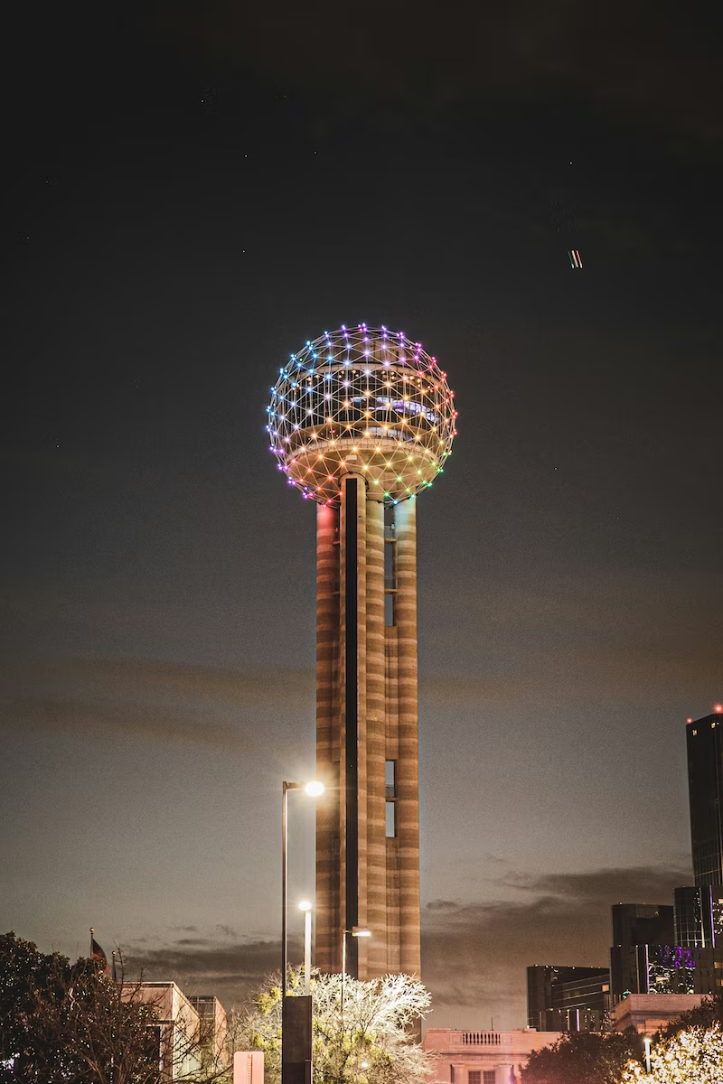
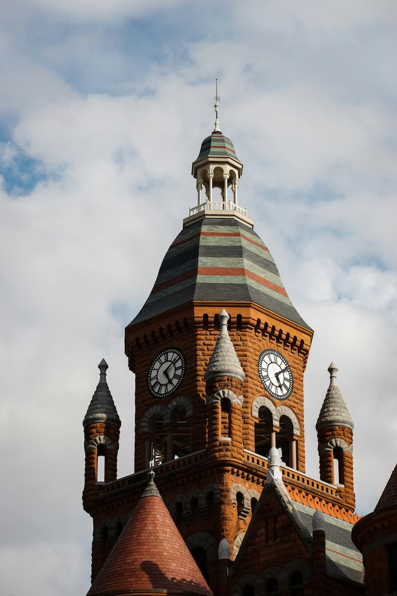
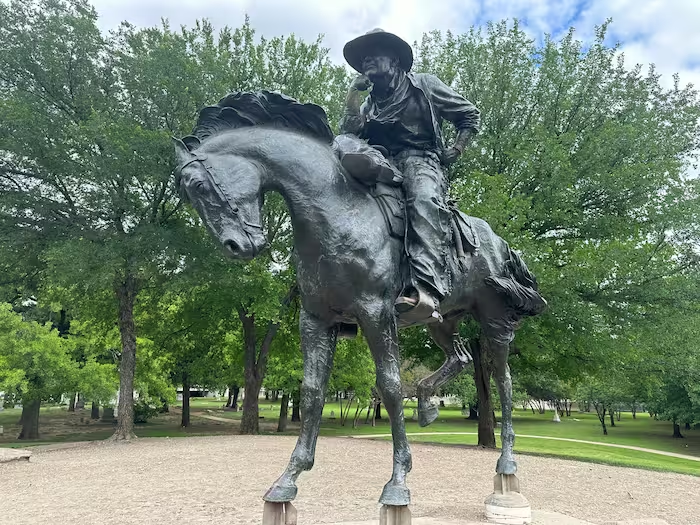
Dallas Fort Worth metroplex
Grand Prairie sits inside the Dallas Fort Worth metroplex, roughly fifteen miles west of downtown Dallas and twelve miles east of downtown Fort Worth along Interstate 30. Its position between the two anchor cities matters for response time: a crew based in east Grand Prairie is not thirty minutes from west Fort Worth, and crews in the network are assigned by the part of the metroplex they can actually reach quickly.
Major cities we cover
Beyond Grand Prairie itself, crews in the network respond across Dallas, Fort Worth, Arlington, Irving, Garland, Frisco, McKinney and Plano, serving a metro population of roughly 8,100,000.
- Dallas
- Fort Worth
- Arlington
- Irving
- Garland
- Frisco
- McKinney
- Plano
These are separate cities with their own crews and their own response times, not suburbs of Grand Prairie. Each one gets its own page as we bring it live.
Smaller towns in the Grand Prairie area
- Duncanville
- Cedar Hill
- DeSoto
- Lancaster
- Glenn Heights
- Red Oak
- Midlothian
- Ovilla
Neighborhoods inside Grand Prairie
Within Grand Prairie itself, crews cover every neighborhood, including:
- Westchester, One of Grand Prairie's largest established neighborhoods, built primarily in the 1970s and 1980s, with many homes now at the age where original plumbing and slab foundations show stress.
- Mira Lagos, A master-planned community in the southwest part of the city with a mix of newer and mid-period housing near the Grand Peninsula area.
- Lake Ridge, A lakeside neighborhood near Joe Pool Lake, where homes built close to the waterline face elevated flood risk during heavy rain events.
- Dalworth Park, An older, established neighborhood in the eastern part of Grand Prairie with housing stock dating to the 1960s and 1970s.
- Lynn Creek, Named for the creek that runs through it, this area has documented flood history and sits within the broader Trinity River watershed.
- Nottingham, A residential subdivision in northwest Grand Prairie near the Johnson Creek floodplain area.
- Grand Peninsula, A lakeside master-planned community near Joe Pool Lake in the southwest part of Grand Prairie, with newer housing and homes built close to the waterline.
- Country Club Park, An established neighborhood near the Grand Prairie Municipal Golf Course, with housing primarily from the 1970s and 1980s.
- Trailwood, A residential area in the northern part of the city with a mix of mid-period and newer homes.
- Forest Oaks, A neighborhood in the eastern part of Grand Prairie with mature tree cover and housing stock from the 1980s and 1990s.
ZIP codes: 75050, 75051, 75052, 75054.
Dallas Fort Worth metroplex
Plano sits inside the Dallas Fort Worth metroplex as one of its largest northern suburbs, roughly twenty miles north of downtown Dallas along the Dallas North Tollway and US 75. That position changes what a service area map means here. Plano crews answer calls across the northern corridor, but a Plano based crew is not thirty minutes from south Fort Worth, and the metroplex is far too large for any one crew to cover. Crews in our network are assigned by the part of the metroplex they can actually reach quickly, and Plano addresses route to a Plano area buyer, not to a crew an hour across town.
Major cities we cover
Beyond Plano itself, crews in the network respond across Dallas, Fort Worth, Arlington, Irving, Garland, Frisco, McKinney and Grand Prairie, serving a metro population of roughly 8,340,000.
- Dallas
- Fort Worth
- Arlington
- Irving
- Garland
- Frisco
- McKinney
- Grand Prairie
These are separate cities with their own crews and their own response times, not suburbs of Plano. Each one gets its own page as we bring it live.
Smaller towns in the Plano area
- Allen
- Frisco
- McKinney
- Richardson
- Carrollton
- Murphy
- Parker
- Sachse
- Wylie
- The Colony
Neighborhoods inside Plano
Within Plano itself, crews cover every neighborhood, including:
- Legacy West, Mixed-use corporate district; Toyota North America, Liberty Mutual, JCPenney and FedEx Office all have major operations there.
- Willow Bend, West Plano, developed from the late 1970s; includes Willow Bend West, Willow Bend Lakes and Willow Bend Polo Estates near Gleneagles Country Club.
- Historic Downtown Plano, Brick streets and restored early-1900s buildings around the DART Red Line station.
- Haggard Park, Established in 1928, home to the original Plano Interurban Railway depot and museum, and host of the annual PlanoAsiaFest.
- Deerfield, Dates to 1986 in northwest Plano; the Legacy Trail runs along its west side by White Rock Creek.
- Prestonwood, Built around the 36-hole Clubs of Prestonwood golf complex.
- Chase Oaks, Northeast Plano, built around Chase Oaks Golf Club.
- Hunters Glen, Built 1980 to 1990 between US 75 and the Dallas North Tollway.
- Russell Creek, Anchored by the 187-acre Russell Creek Park with cricket fields and miles of trail.
- Country Place, One of Plano's oldest planned communities, incorporated in 1972.
- Windhaven, A 400-acre West Plano development of five villages with five fountain lakes and private hike and bike trails, sold around Lakeside on Preston.
- Kings Ridge, Established in 2000 in the northwest corner near Highway 121 and the Dallas North Tollway.
- Legacy corridor, Corporate corridor along Legacy Drive between Preston Road and the Dallas North Tollway.
- Arbor Hills, Borders the 200-acre Arbor Hills Nature Preserve with an observation tower, a 2.3-mile paved trail and 2 miles of off-road trail.
ZIP codes: 75023, 75024, 75025, 75074, 75075, 75093, 75094.
Dallas Fort Worth metroplex
Sherman sits roughly 60 miles north of downtown Dallas along U.S. Highway 75, at the northern edge of the Dallas-Fort Worth metroplex in Grayson County. It is the largest city in Grayson County and serves as a regional hub for the Texoma area. Response crews are drawn from the north Dallas suburbs and the Sherman-Denison area, not from central Dallas.
Major cities we cover
Beyond Sherman itself, crews in the network respond across Dallas, Fort Worth, Arlington, Plano, Irving, Garland, Frisco and McKinney, serving a metro population of roughly 8,100,000.
- Dallas
- Fort Worth
- Arlington
- Plano
- Irving
- Garland
- Frisco
- McKinney
These are separate cities with their own crews and their own response times, not suburbs of Sherman. Each one gets its own page as we bring it live.
Smaller towns in the Sherman area
- Denison
- Van Alstyne
- Anna
- Melissa
- McKinney
- Prosper
- Howe
- Pottsboro
- Gunther
- Trenton
Neighborhoods inside Sherman
Within Sherman itself, crews cover every neighborhood, including:
- Heritage Row Historic District, A designated historic preservation district along South Crockett Street with homes dating from the late 1800s through the early 1900s, many with original plumbing and pier-and-beam foundations.
- Downtown Sherman, The historic commercial core near the Grayson County Courthouse, with a mix of historic buildings, local businesses and newer development.
- Austin College area, The neighborhood surrounding the oldest continuously operating college in Texas, with a mix of historic homes, student housing and established residential streets.
- Midway Mall area, A commercial and retail corridor along Texoma Parkway near the mall, with adjacent residential subdivisions.
- Pecan Grove, A residential area in southern Sherman with a mix of established and newer housing.
- Southeast Sherman, A residential area with housing stock primarily from the mid-20th century through the 1980s.
- West Sherman, A developing area with newer residential subdivisions and commercial growth along the western corridors.
- North Sherman, A residential and commercial area north of downtown with a mix of older and newer housing.
- Cedar Heights, An established residential subdivision in Sherman with mid-century and later homes.
- Forest Glen, A residential neighborhood with housing from the 1970s through the 1990s.
ZIP codes: 75090, 75091, 75092.